So I thought I'd share the last of my landscape photos from Ivvavik National Park. In addition to the hikes to popular destinations Inspiration Point and Sheep Slot, the best named and most beautiful destination is Halfway to Heaven. It is about two to three hours from the Sheep Creek campsite and a pretty good hiking-workout. From what I gathered, it was named because the hikers who gave its name experienced a bad storm on that day and thought they'd perish on that day.
I went to this spot twice last year - the first time was on June 21 and it was cloudy and windy. The second time was on Canada Day and it was sunny and hot and humid. Such is the (unpredictable) weather in the north in the summer.
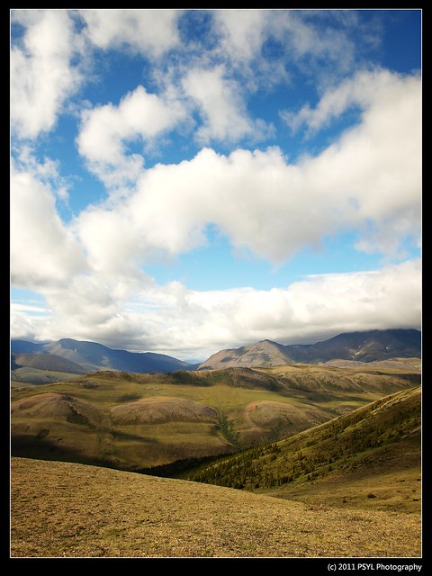
As you can see, there are very few vegetation that survive up here, except some Dryas spp. and Phlox.
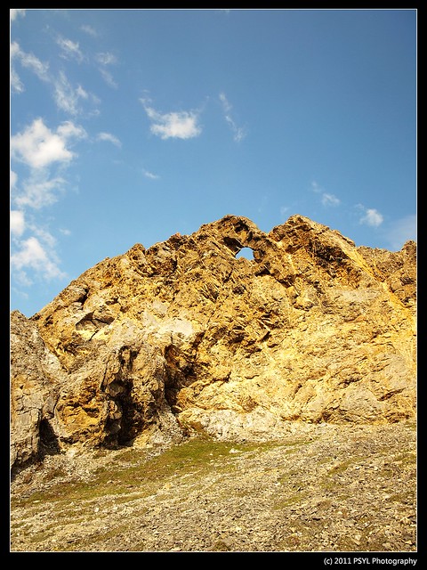
Through weathering, the mountain tops and valley side slopes form these amazing looking pinnacles called tors. And given the shape, there are many interesting names. For example, this is called Castle Tor.
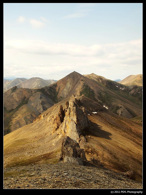
Unnamed tors.
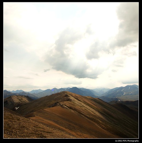
Looking down at lower elevations.
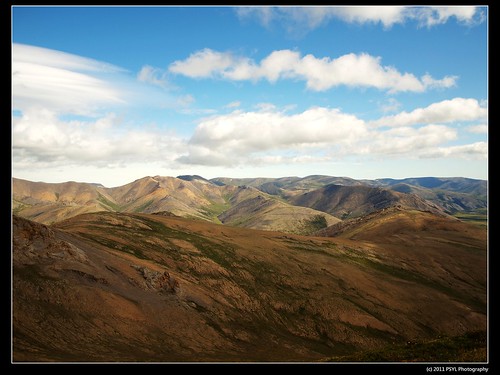
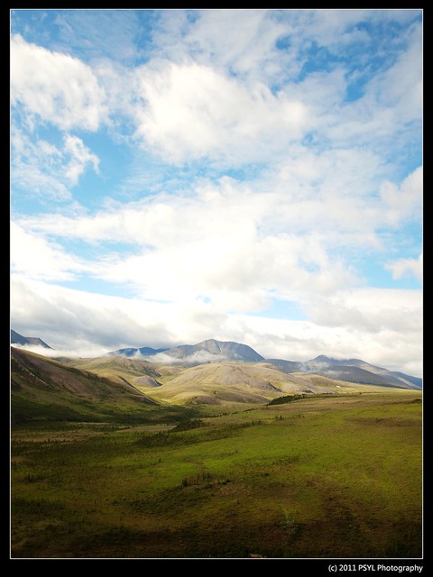
Beautiful landscape.
I wonder how this looks right now (in the winter).
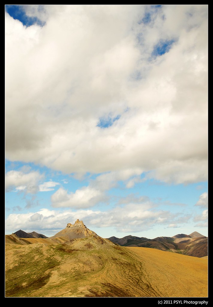
Castle Tor from a distance.
1 comment:
That is beautiful country! I got stuck, once again, just looking it over on Google maps; even there, it's gorgeous!
It's sort of like the Chilcotin, squared. And I love the Chilcotin; it reminds me of a ballet dancer showing off her bone structure. No frills, just the essence.
Post a Comment