July 1st to 3rd (M. ciliata and M. bakeri)
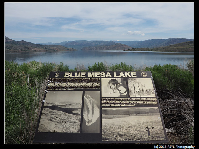
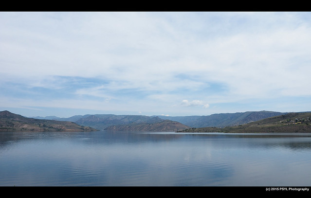
View of Blue Mesa.
I stopped at a couple of places during the drive to stretch my legs and check out the beautiful scenery.
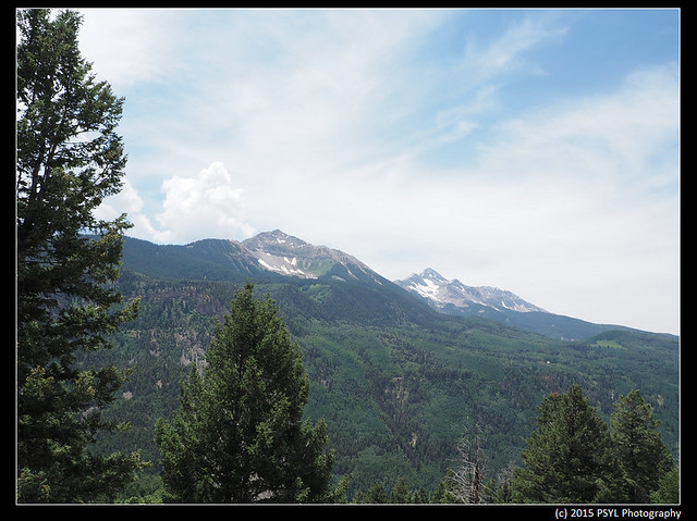
Sunshine Mountain on the left and Wilson Peak on the right.
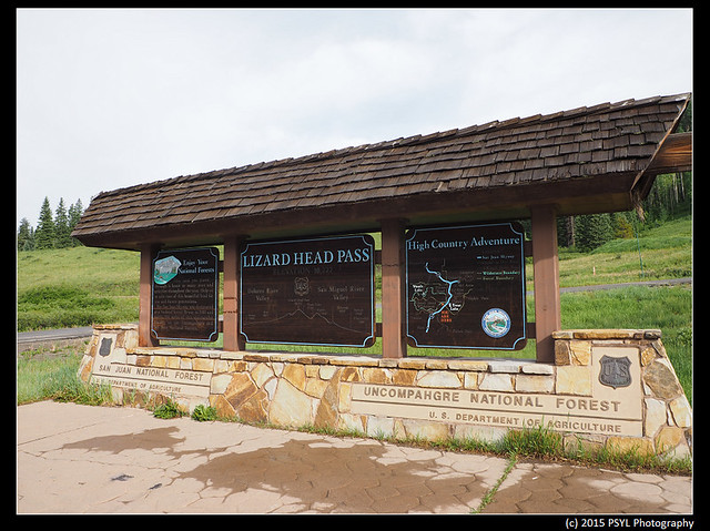
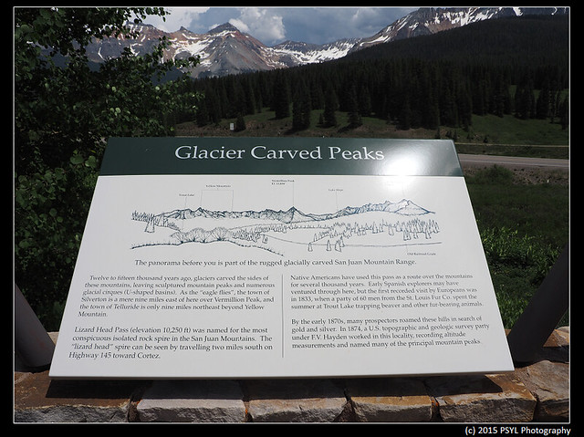
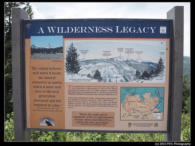
San Juan and Uncompahgre National Forests.
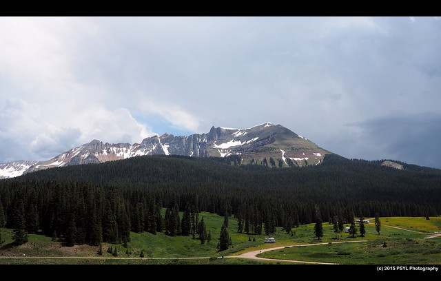
Sheep Mountain.
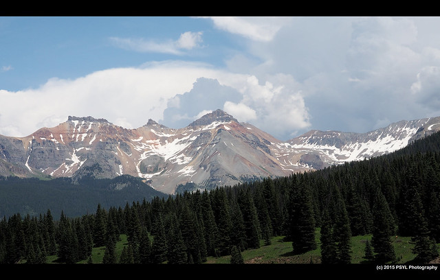
Vermillion Peak.

View of the mountains, see larger image here.
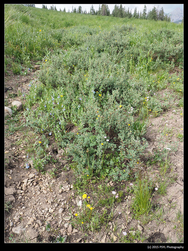
M. ciliata on a dry stream bed in San Miguel county.
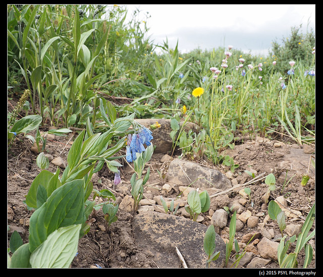
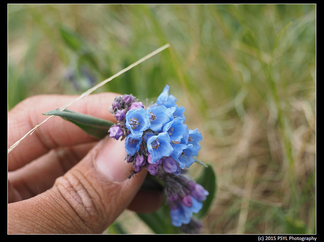
M. ciliata.
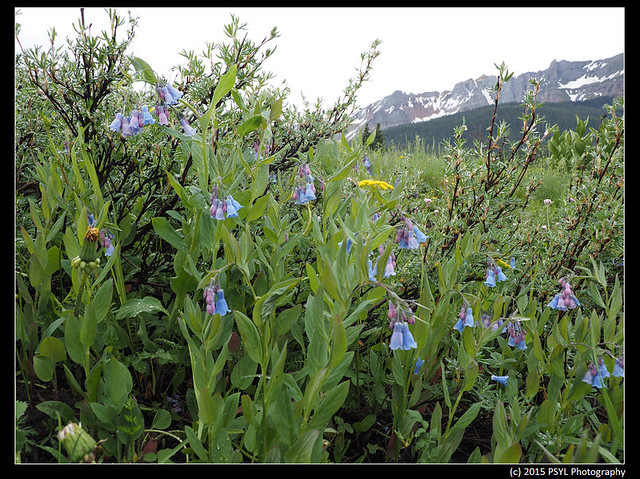
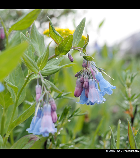
Close-up on the flowers.
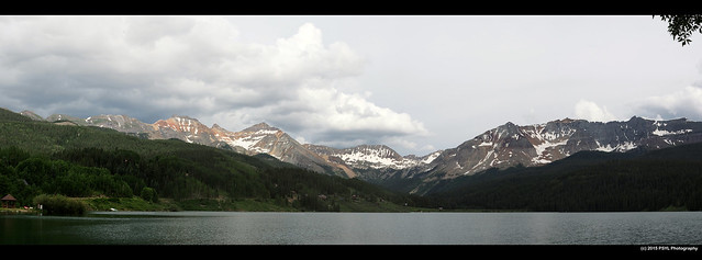
Trout Lake in Uncompahgre National Forest.

Unknown area on my way to Hinsdale county.
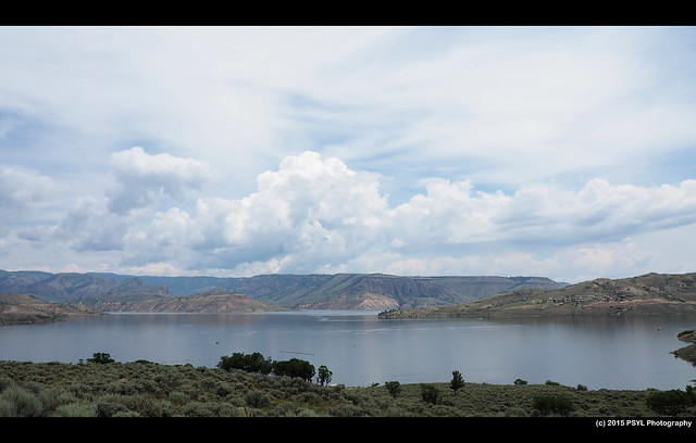
Passing through Blue Mesa Lake again.

Foggy morning on July 3rd. I actually arrived at the site on the afternoon of the 2nd, but thunderstorm with hail prevented me from visiting the site until the following morning.

San Juan and Uncompahgre National Forests.


Sheep Mountain.

Vermillion Peak.

View of the mountains, see larger image here.

M. ciliata on a dry stream bed in San Miguel county.

M. ciliata.


Close-up on the flowers.

Trout Lake in Uncompahgre National Forest.

Unknown area on my way to Hinsdale county.

Passing through Blue Mesa Lake again.

Foggy morning on July 3rd. I actually arrived at the site on the afternoon of the 2nd, but thunderstorm with hail prevented me from visiting the site until the following morning.
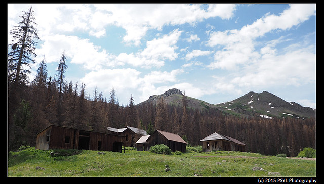
Carson, a abandoned ghost town
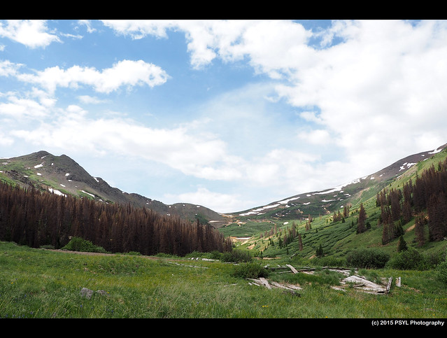
View of the surrounding peaks in Carson.
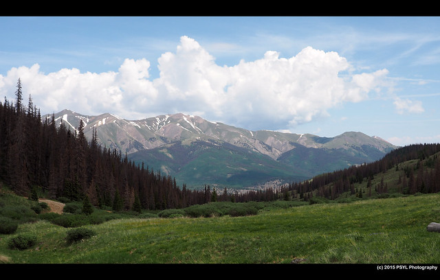
View from Carson with clouds forming.
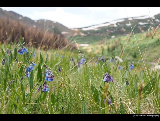
M. bakeri in Hinsdale county.

View of the surrounding peaks in Carson.

View from Carson with clouds forming.

M. bakeri in Hinsdale county.
M. bakeri
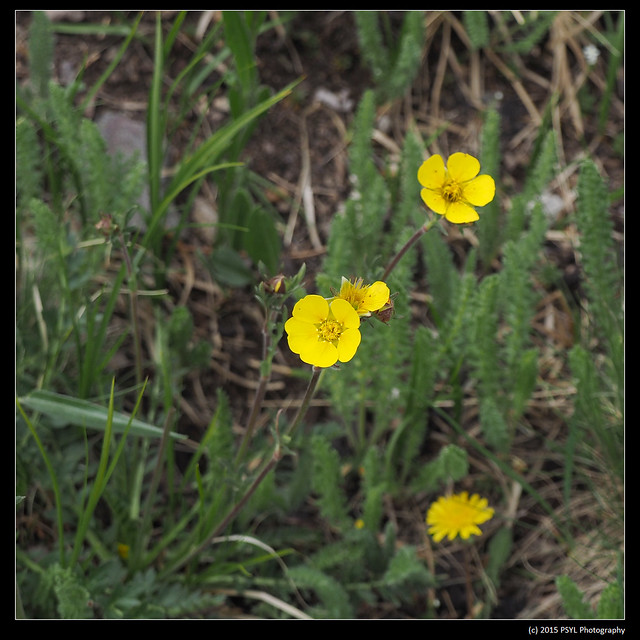
One of the surrounding flowering species - Geum rossii.
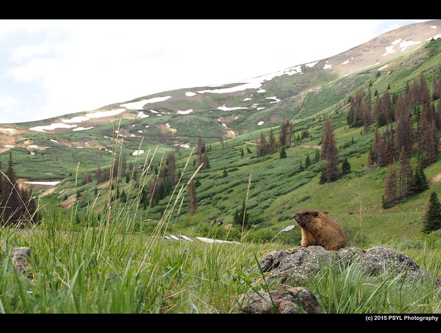
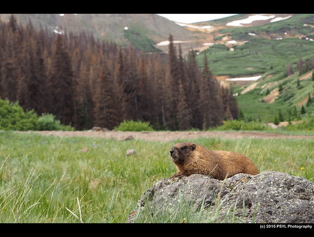
While I was measuring the plants, I noticed this marmot resting on a rock and observing me as I do my fieldwork.
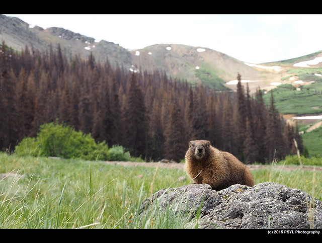
I was able to get pretty close to it. Unfortunately, I did not bring my telephoto lens with me.
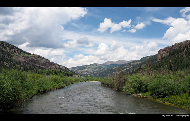
Drive back to Gothic.
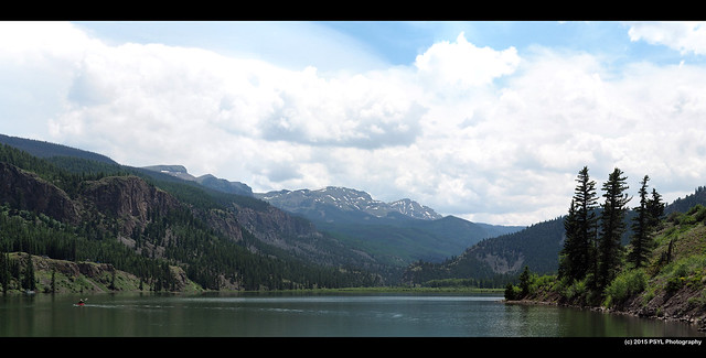
Lake San Cristobal.
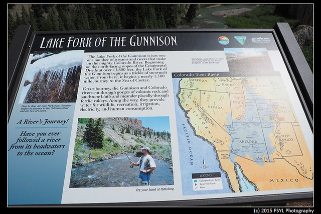
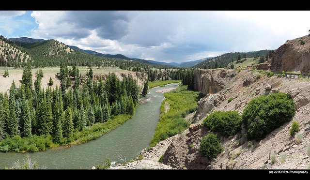
There are parts of the drive that look very similar to Grand Canyon (based on what I had seen in TV and movies), which I will visit in mid-July.
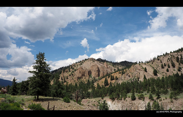

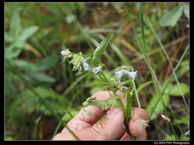
M. clokeyi in Boulder county. I actually mistimed the flowering phenology of the species and there were only four flowering plants left when I got there. I guess I will have to come back again next year.
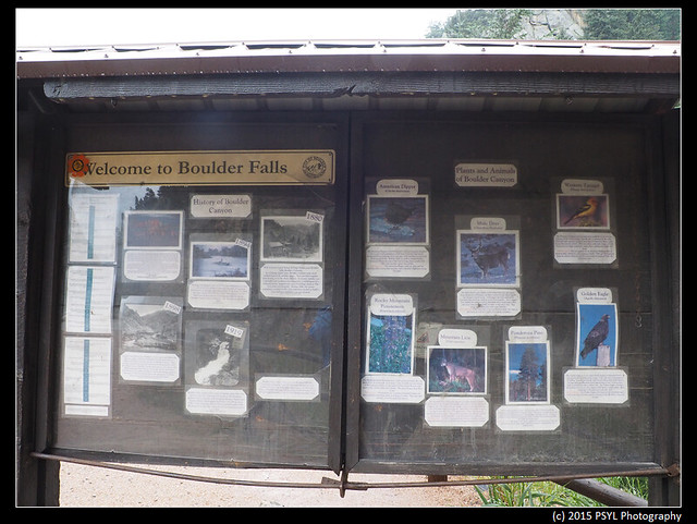
Passing through Boulder Falls
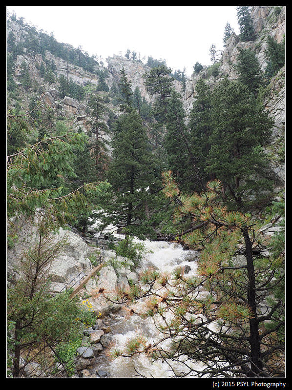
Due to dangerous conditions, the trail to Boulder Falls is closed off. The waterfall is just behind the trees in the center of the image.
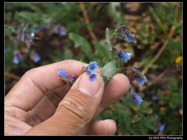
M. parvifolia in Larimer county.
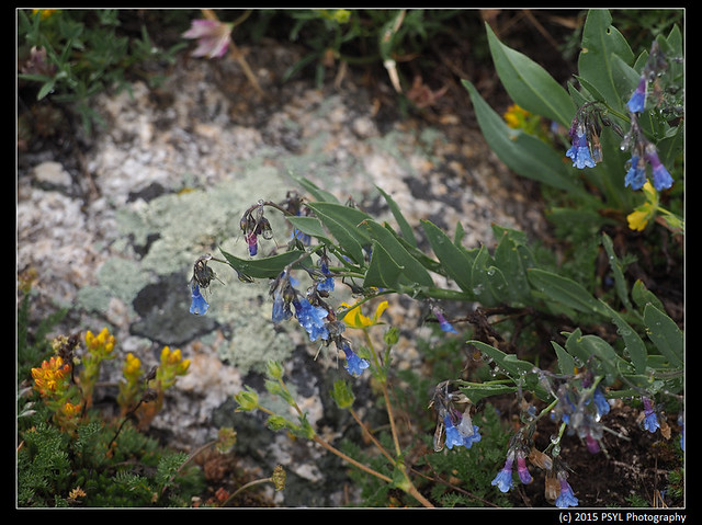

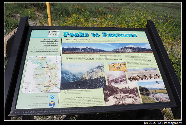
Sawatch Range. See larger image here. There are three tall mountains here - Mt. White (13,667' - second peak from the left), Mt. Antero (14,269' - third peak from the left), and Mt. Princeton (14,197' - the peak on the right side of the valley).
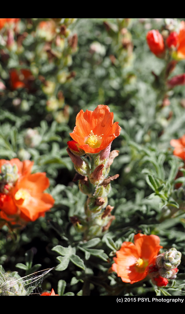
Mallow flowers (Sphaeralcea sp.) next to the sign.
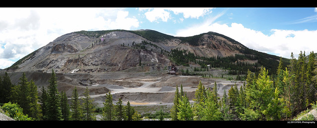
The abandoned Madonna Mine next to US Highway 50.

While I was measuring the plants, I noticed this marmot resting on a rock and observing me as I do my fieldwork.

I was able to get pretty close to it. Unfortunately, I did not bring my telephoto lens with me.


Drive back to Gothic.

Lake San Cristobal.

There are parts of the drive that look very similar to Grand Canyon (based on what I had seen in TV and movies), which I will visit in mid-July.


July 7th to 9th (M. clokeyi and M. parvifolia)

M. clokeyi in Boulder county. I actually mistimed the flowering phenology of the species and there were only four flowering plants left when I got there. I guess I will have to come back again next year.

Passing through Boulder Falls

Due to dangerous conditions, the trail to Boulder Falls is closed off. The waterfall is just behind the trees in the center of the image.

M. parvifolia in Larimer county.

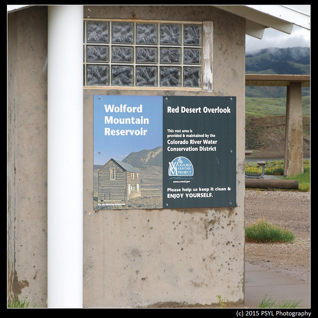
Before I got to the site, I actually missed my turn onto Highway 14 (and almost drove to Wyoming) and had to sleep in the car in front of a driveway next to the highway. And while I was measuring the flowers the following morning, rain started to fall and my digital caliper failed on me and I lost feelings in my fingers due to the wetness. It was not a fun day overall.
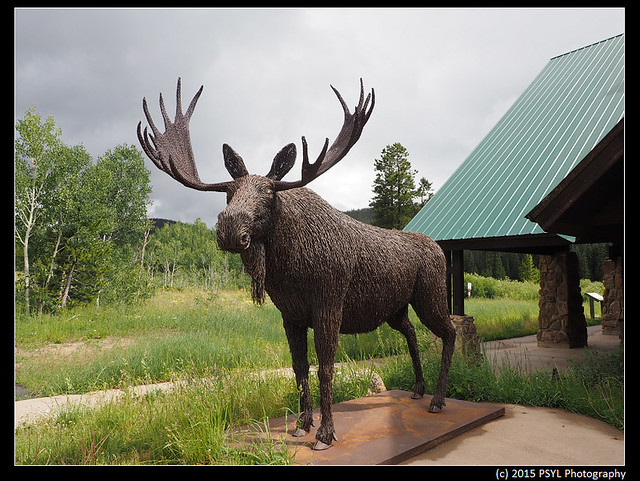
A moose made out of wires in front of the Moose Visitor Center in the State Forest State Park.
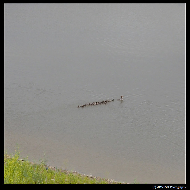
A large family of Red-breasted Mergansers, I counted at least 27 babies.
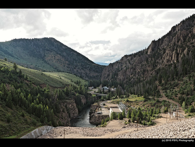
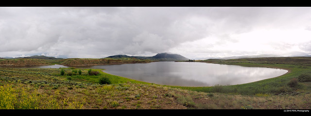
Green Mountain Dam as I was trying to find a place to camp that night.

Green Mountain Dam as I was trying to find a place to camp that night.
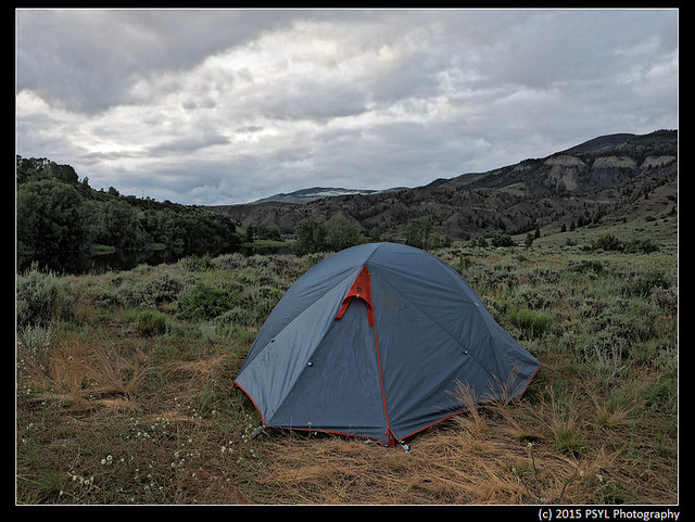
Camping in White River National Forest - Prairie Point.
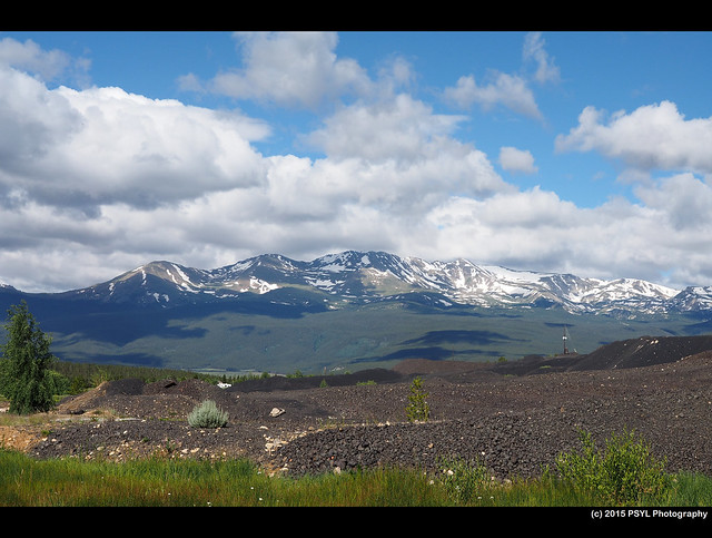
The following morning, I passed several 14,000+ feet mountains - here is the second highest summit in Colorado - Mount Massive.

The following morning, I passed several 14,000+ feet mountains - here is the second highest summit in Colorado - Mount Massive.

Sawatch Range. See larger image here. There are three tall mountains here - Mt. White (13,667' - second peak from the left), Mt. Antero (14,269' - third peak from the left), and Mt. Princeton (14,197' - the peak on the right side of the valley).

Mallow flowers (Sphaeralcea sp.) next to the sign.

The abandoned Madonna Mine next to US Highway 50.
July 12th to 16th (M. franciscana and M. umbratilis)
For my final plant-measuring trip, I traveled to Arizona and Utah to measure two Mertensia species. Each part of the trip took at least nine hours of driving so I was pretty much exhausted by the end of the day. Nonetheless, I got the opportunity to visit Grand Canyon and see parts of Arizona and Utah that were very unique (compared to Colorado) and spectacular. I will post those photos on a separate blog post because I took too many photos.
I arrived in Arizona in the evening of the 12th and started doing fieldwork the following (early) morning. Here is Humprey's Peak in the morning - the highest natural point in Arizona.
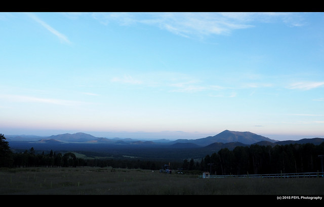
View of Flagstaff
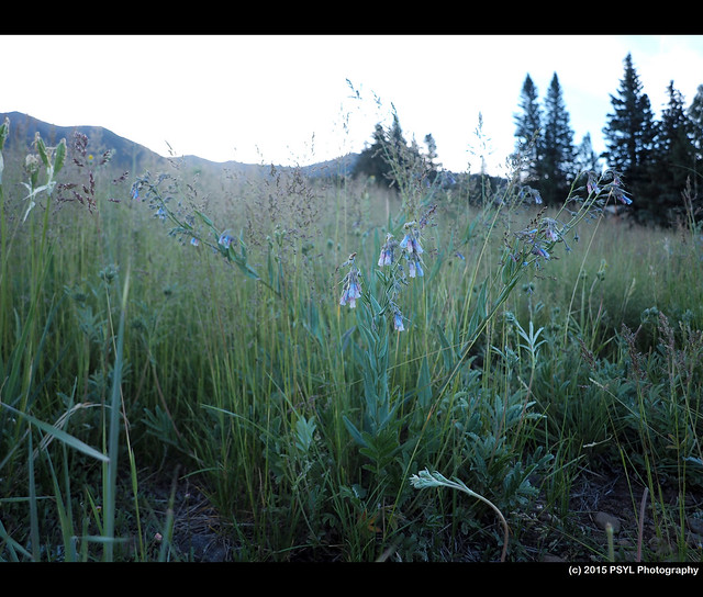
M. franciscana in Coconino county, Arizona.

View of Flagstaff

M. franciscana in Coconino county, Arizona.
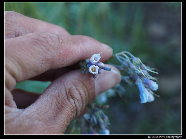
The flowers.
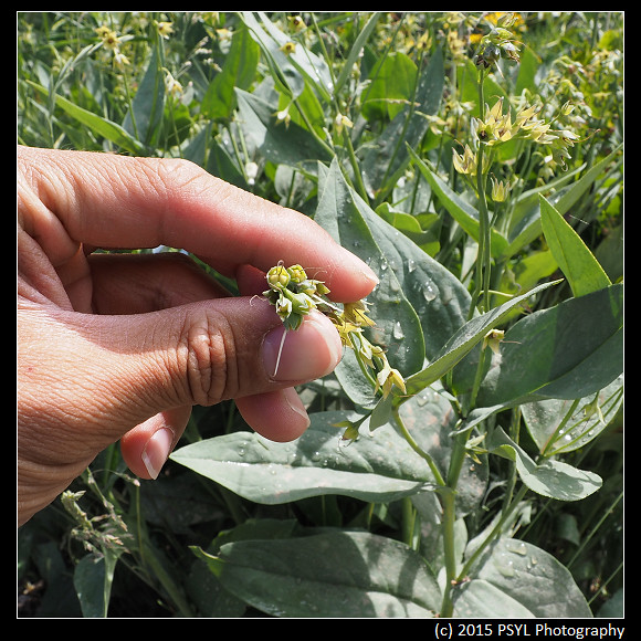
The corolla of this species seems to be fairly narrow compared to the other species I had measured.
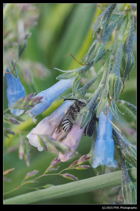
While measuring the flowers, I came across at least two Anthophorine bees resting on flowers.
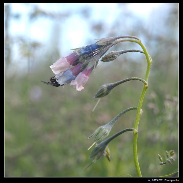
A fly pollinating a flower.
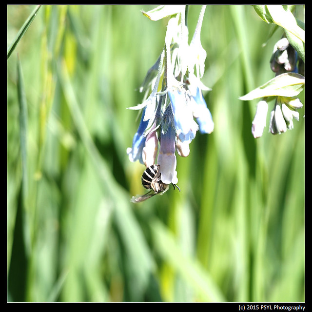
Anthophorine bee pollinating a flower.
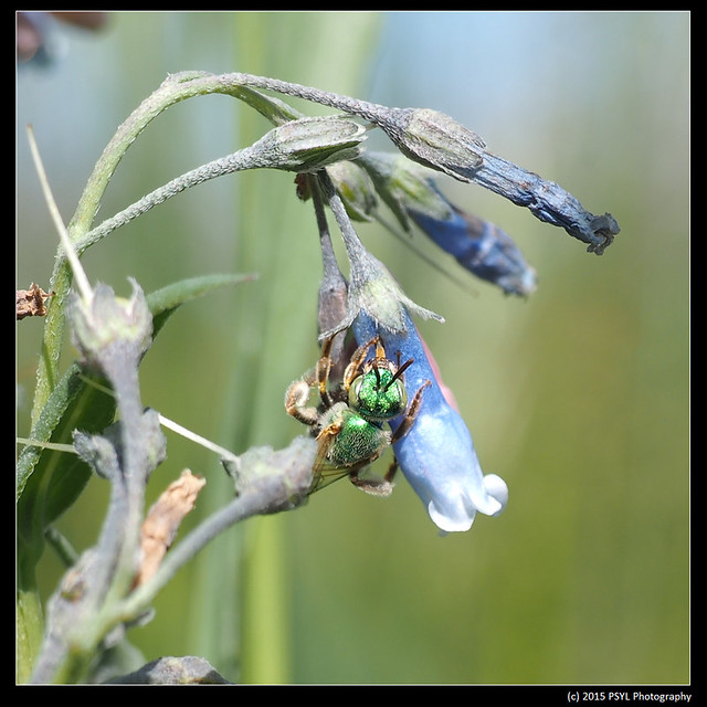
I noticed there were holes pierced on the side of the flowers (towards the bottom) which indicated nectar-robbing. True enough, I later saw several Anthophorine bees and this metalic green Halictid bee trying to get at the nectar at the base of the flower.
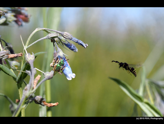
While photographing the bee, I photographed a wasp doing a fly-by.

While photographing the bee, I photographed a wasp doing a fly-by.
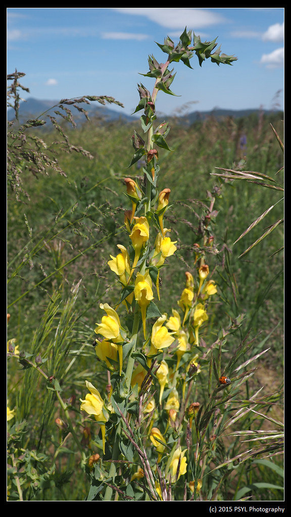
One of the co-flowering species: Butter-and-eggs (Linaria vulgaris).
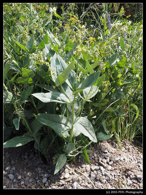
After measuring the plants in the morning, I stopped at Grand Canyon National Park in the afternoon. I camped near there that night and then resumed my trip northward to Utah the following day. I didn't get to the site until the 15th. By the time I got there, I found out that all of the plants are way past flowering and most had dispersed their nutlets already.
M. umbratilis in Cache county, Utah.
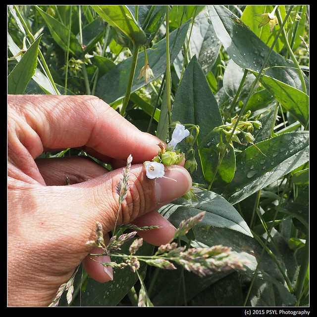
This was the only plant I found with two remaining flowers.
Nutlets.
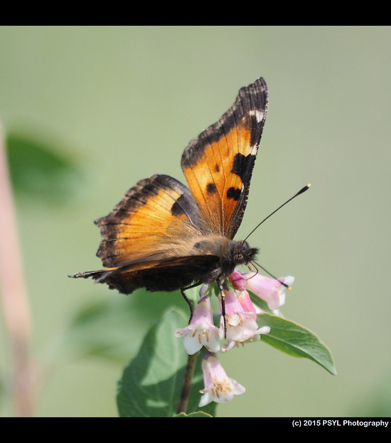
California Tortoiseshell (Nymphalis californica)
Well, that pretty much conclude this year's field season, especially with my M. brevistyla and M. fusiformis plants (here in Colorado) dispersing most of their nutlets already. Overall, I would consider this a successful field season once again.
No comments:
Post a Comment